| Home |
|---|
|
Get the Flash Player to see this player. |
| Liz and Leigh come up to visit and go for a cruise. |
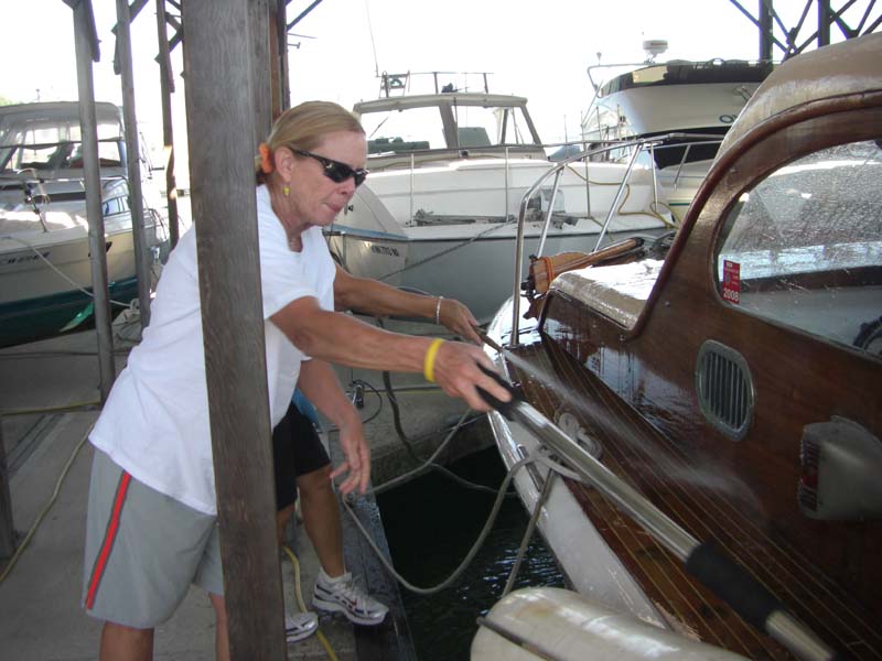 |
| Above - Liz and Leigh "Sharkbait" wash down the Monk while Renee and I prepare to get underway. |
 |
| We went over to Dockton for a picnic lunch. |
Easter Sunday 2007 and we head over to Maury Island instead of going to church |
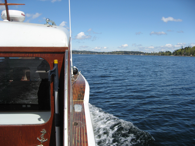 |
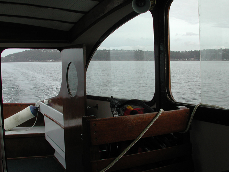
| Below - Renee has the helm while I snap some photos on this very nice April day. |
 |
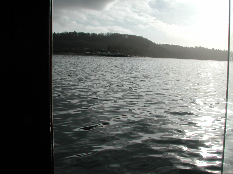
| At the entrance to Quartermaster harbor, Maury Island is on the left, Vashon on the right. |
 |
| Tacoma receding in the far distance. |
 |
| Houses on the beach at Maury Island. |
 |
 |
| Above and below - we pull in to Dockton for lunch. |
 |
 |
| Above and below - Stormbird needs a bath to clean up the rust stains and grain dust from the elevators located not far from her slip. Below - a Russian 12 meter sailboat moored in Dockton harbor - where the hell did that come from?? |
 |
This marina is actually a King County Park with nice grounds and a good beach for swimming, clamming and just soaking in the sun. Another couple just docking (below) came over from Des Moines Marina in the Striper for a quick lunch. |
 |
 |
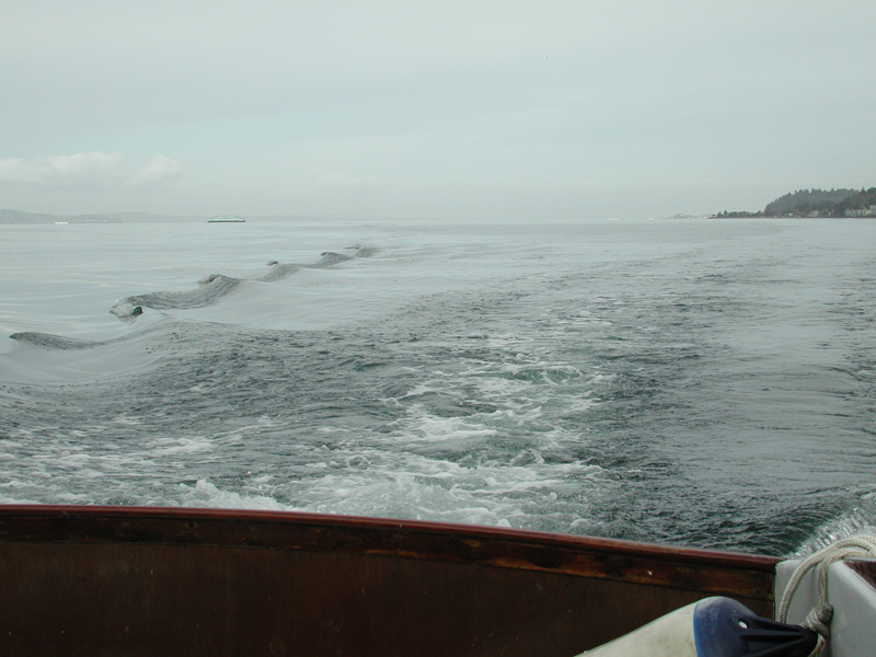
| Below - Renee takes us out of Dockton and we head home to Foss Waterway Marina in Tacoma. |
 |
| March 18, 2007 and we cruise over to Quartermaster Harbor on Vashon Island. |
 |
Sunday is a nice day, so we decide to head out for a few hours and venture over to Vashon Island. Renee steers while I take some photos and do some sightseeing. |
 |
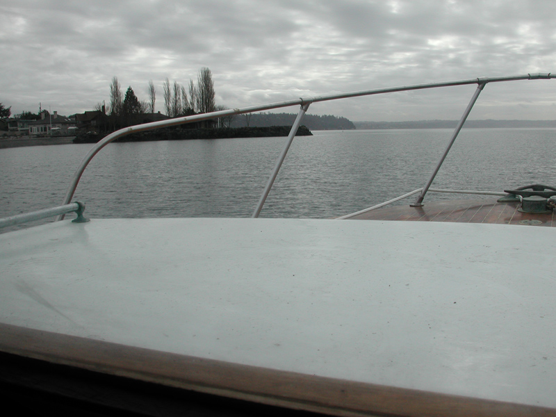
Leaving Commencement Bay in our wake. Low tide, about 1800 rpm and 8 knots. Mt. Rainier obscured by the low clouds this morning. |
 |
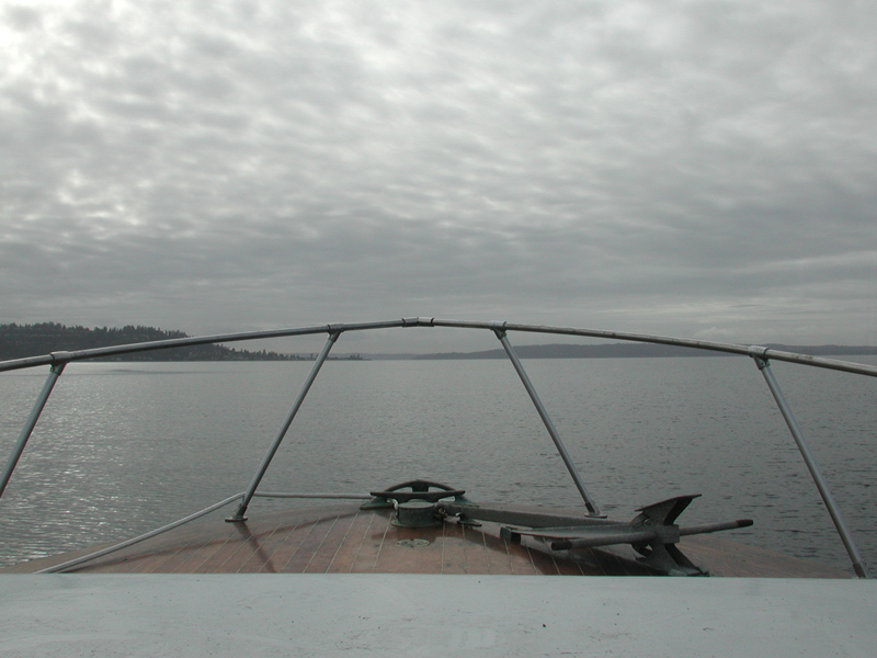
| Vashon Island ahead, the bow is pointing to the entrance to Quartermaster Harbor. |
 |
As we enter the harbor, Tacoma is well astern (the smokestacks are in the Tacoma harbor. That's Brown's Point on the left side of the photo. |
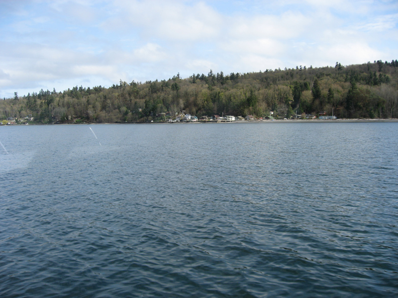 |
| Houses line the coast in Quartermaster Harbor. |
 |
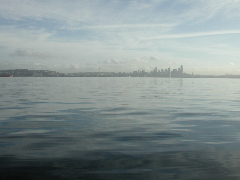
Below, after lunch, we turn around and head back to Tacoma, nice day, 65°, a few boats out fishing. That's the Tacoma Dome in the far distance. |
 |
Below - another view of the old tugboat moored off Old Tacoma, south side of Commencement Bay. We are headed back to the slip. |
 |
Sailing south from Port of Edmonds to Commencement Bay in Tacoma |
February 16, 2007 - I depart the Edmonds marina at 0750 and turn south. |
 |
Today the forecast was for temps in the high 50's, wind 1 to 3 knots, no waves and light overcast. Perfect day for a 39 mile cruise from the Monks former home in Port of Edmonds, WA to it's temporary berth in the Foss Waterway Marina in Commencement Bay, Tacoma. I'm on the waiting list for a slip in the Des Moines Marina, about 8 miles north of Tacoma, but I wanted the boat south, closer to home so I don't have to drive through Seattle at rush hour just to tinker. |
 |
Off the port bow is a tanker at the oil depot just south of Edmonds, next waypoint is Shilshole Marina, located at the entrance to the Lake Washington Ship Canal. Below - leaving the tanker in my wake, I'm departing just before mean low water and the tide is just beginning to turn south and that will give me a couple of knots on the stern, a nice tailwind for the trip south. |
 |
Below - West Point Light ahead, Shilshole to port. You can see the little black ship cursor on the chart plotter showing my position relative to West Point and the Ship Canal entrance at Shilshole. |
 |
 |
Above - West Point at the northern tip of Elliott Bay. Below - the West Point green lighted buoy. |
 |
 |
I slip across the entrance to Elliott Bay, gateway to Seattle. |
 |
I make my way across Elliott Bay, no traffic except two ferries headed over to Eagle Harbor on Bainbridge Island and the other to Bremerton. I can listen them talk to the VTS controllers on channel 14. The Raymarine C80 radar has a nice MARPA feature that captures the ferry returns and plots their course and speed and warns me if I'm on a collision course. Very fancy, but I need not worry about the ferries, they're used to dealing with much dumber boaters than me.
|
 |
Alki Point light coming up as I get across Elliott Bay. This marks the southern tip of Elliot Bay, I'll hang a left here and cruise down the East passage past Fauntleroy, Three Tree Point and into Des Moines. |
 |
Above - Alki Point lighthouse and below - on the chart. The radar target on the right edge of the radar screen is the ferry Skagit. Digital voltmeter scavenged from one of my gliders and plugged into the cigarette lighter outlet for electrical system monitoring. |
 |
Below - Ferry Skagit crosses behind me. |
 |
 |
With the tide rising in the Puget Sound now, I'm seeing 8.4 knots on the GPS at 1800 rpm, and I think that's pretty good. Before it's over, I'll see over 9 knots at 2000 rpm. Timing the tide and current means something on a 40 mile trip. |
 |
Above - the Ferry Tillicum arriving at Fauntleroy, from the northern tip of Vashon Island. |
 |
Seola Beach and Seahurst on the left. The water is like glass, nobody out here this morning. I'm about halfway to Foss Waterway Marina now, about 2.5 hours en-route. |
 |
 |
Above - That's Three Tree Point coming up. |
 |
Looking back at Seola Beach. I stopped here to switch fuel tanks and have a pee. |
 |
Rounding Three Tree Point. The depth sounder came in handy when the depth went quickly from 160 feet to 75, then to 15 feet. I decided to turn out into the Sound a bit just because. |
 |
 |
After rounding Three Tree Point, I'm headed towards Des Moines Marina. I break out the sandwich. |
 |
 |
Above - Des Moines Marina. |
 |
Above - passing Des Moines, lots of open water here, I can take a break and relax at 9.2 knots and not worry about hitting anything. Water depth is over 500 feet. |
 |
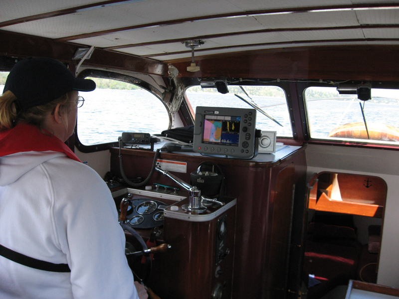
Above is the steering station with Raymarine C80 chart plotter, radar and depth sounder. The depth is over 800 feet right here, so it's gone blank. Standby GPS suctioned to the window, marine VHF below the GPS. Channel 14 is the Vessel Traffic Service that controls the transit zone for big ships that runs the length of Puget Sound - that's the purple area and lines on the chart. Compass, binoculars, handheld VHF, Blackberry and logbook complete the array of trinkets scattered about the workspace. New fuel gauge to the left of the tachometer. The big chrome Johnson bar selects forward or reverse gear and the small chrome handle in the lower right of the photo, in front of the compass, is the throttle. |
 |
Pointed at Dash Point. |
 |
Looking back at Saltwater State Park in Poverty Bay. |
 |
Below - coming up next is Dash Point. |
 |
After Dash Point is Browns Point, the northern tip of the entrance to Commencement Bay and home. |
 |
Below - As I round Browns Point, Commencement Bay opens up and the Tacoma Dome is easily spotted. |
 |
 |
Above - Making my way through Commencement Bay to my berth, I pass some tankers and grain ships. Above is the Clipper Sussex from Hong Kong. |
 |
Just past the blue-hulled grain ship is my new berth for the Monk, just in front of the bridge, to the left of the gray warehouse. Five hour trip and the Monk ran like a top. Averaged 8.1 knots for a total distance of 39.8 miles. 11 gallons of gas. Very civilized way to travel. Next time - we sail to Quartermaster Harbor on the south end of Vashon Island. Stay tuned! |